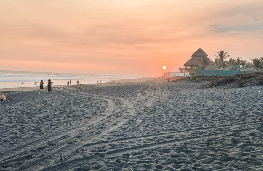
Imagen de El Paredón Guatemala playa Pacífico

Chiquimulilla Channel — The Guatemalan Pacific Channel

Hospedaje frente a la playa en El Paredón Sipacate

El Paredón beach

What is the Chiquimulilla Channel and how to use it to get to El Paredón

The Chiquimulilla Canal is a system of natural and artificial channels that runs for more than 150 km parallel to Guatemala's Pacific coast, from Sipacate (Escuintla) to the border with El Salvador. It is the aquatic backbone of the Guatemalan southern coast and an essential means of transport for accessing coastal communities such as El Paredón Buena Vista, which do not have direct land access. The canal runs through a mangrove ecosystem of extraordinary biodiversity: home to herons, pelicans, crocodiles, iguanas, and sea turtles during nesting season. Navigating the Chiquimulilla Canal at sunset, with the sun over the mangroves and the golden water reflecting, is one of the most unique experiences the Guatemalan coast offers. Sipacate-Naranjo National Park protects a large part of this fragile ecosystem.

View routes and interactive map

Chiquimulilla Canal: The Waterway of the Guatemalan Pacific

The Chiquimulilla Canal is one of the most important waterways on the Pacific coast of Guatemala. This natural and artificial canal runs for more than 150 kilometers parallel to the Pacific coast of Guatemala, connecting from Sipacate to the border with El Salvador, passing through departments such as Escuintla, Santa Rosa, and Jutiapa.

The canal is the main means of transport to access several coastal communities, including El Paredón Buena Vista, which can only be visited by crossing the canal by boat from Puerto San José. The boat trip through the canal, surrounded by exuberant mangroves, is in itself a memorable experience.

Wildlife and nature in the Chiquimulilla Canal

The Chiquimulilla Canal is bordered by one of the most important mangrove systems in Central America. On its banks, you can spot herons, pelicans, crocodiles, otters, and during the season (August-December), sea turtles nest on the adjacent beaches. The Sipacate-Naranjo National Park protects a large part of this ecosystem.

How to use the Chiquimulilla Canal to get to El Paredón

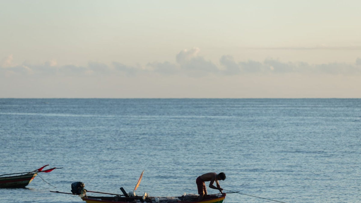
From the Puerto San José pier, boats cross the canal in approximately 15 minutes to El Paredón. You can also take a boat from Sipacate. The journey along the canal, especially at sunset, is one of the most photographed moments by visitors to the area.
Book here

Chiquimulilla Channel — The Guatemalan Pacific Channel

Hotels in Playa El Paredón, Guatemala

Michal B.
3 months ago

Surfing paradise, lovely spot for enjoying the sun and water!!! 🌞⛱️🌊🌴

Jensen P
2 months ago

This little beach town is delightfully underdeveloped, authentic, and relaxed. This is not a resort town by any means. Lots of small hotels and hostels. The temperature stays hot at night, and you might have difficulty sleeping. The beach was mostly clean, and the waves were good.

Yandro
a year ago

Absolutely love this beach and community. Felt safe everywhere we went and locals were really nice and welcoming.

Noah Rebero
3 months ago

Loved the sea and the waves, the black sand and how clean the beach is.

Frequently Asked Questions

What is the Chiquimulilla Canal?

. The Chiquimulilla Canal is a waterway over 150 km long that runs parallel to Guatemala's Pacific coast, from Sipacate to the border with El Salvador. It connects several coastal communities and is surrounded by mangroves.

Why do you have to cross the Chiquimulilla Canal to get to El Paredón?

El Paredón Buena Vista is a strip of land between the canal and the sea. It has no direct land access from the main road, so you must cross by boat from Puerto San José or Sipacate on a 15-minute journey.

What wildlife is there in the Chiquimulilla Canal?

The canal and its mangroves are home to herons, pelicans, cormorants, crocodiles, iguanas, otters and sea turtles (in season from August to December). It is one of the richest mangrove ecosystems in Central America.

How long does the boat tour through the Chiquimulilla Canal last?

The journey from Puerto San José to El Paredón along the canal takes approximately 15 minutes by boat. There are longer tourist routes that can last 1-2 hours exploring the mangrove and canal system.

Can you kayak in the Chiquimulilla Channel?

Yes, kayaking is one of the best ways to explore the channel and the mangrove. In El Paredón you can rent kayaks to navigate the estuary and channel areas, which allows you to get closer to the wildlife and vegetation.

Where does the Chiquimulilla Canal begin and end?

The Chiquimulilla Canal begins near Sipacate, Escuintla, and extends eastward through the departments of Santa Rosa and Jutiapa until it reaches the border with El Salvador. It is over 150 km in total length.

Is the Chiquimulilla Canal protected?

Yes, Sipacate-Naranjo National Park protects the mangrove ecosystem in the Sipacate and El Paredón area. It is one of the best-preserved mangrove forests in Guatemala and Central America, with high biodiversity of birds and reptiles.